- This event has passed.
Understand, Plan, Act – How WebGIS Supports Public Safety Agencies
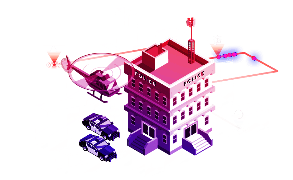
As a public safety agency, in order to be truly effective in your role, coordination and collaboration are critical to building a safe community. Data silos have to be replaced by shared data sources in order to provide new and unique insights that influence the way you plan, staff and respond to support and protect all First Responders as they perform their duties. ArcGIS for Public Safety consists of tools that help you to maintain a common operating picture, track performance, drive decision-making, and streamline internal and external communication. ESRI and the Town of Chapel Hill have partnered together to host the first Central Carolina Public Safety Workshop. This workshop will explore the geospatial solutions that exist today for public safety agencies and discuss how to leverage the power of the ArcGIS Platform to create a safer and more resilient community by addressing these challenges/goals facing today’s first responders.
8:30 – 9:00am Welcome/Networking
9:00 – 9:10am Introductions / Esri Overview
9:10 – 9:30am Current ArcGIS Access & Use within Chapel Hill by Chase Barnard, GIS Manager
9:30 – 9:50am “The Art of the Possible” in Public Safety
- Strategic vision, sharing best practices, successful implementations
- The ArcGIS Platform for collaboration & sharing
- Public Safety as part of larger community engineered to
share, show & support
9:50 – 10:15am Break
10:15 – 10:45am Emergency Management (incl. Special Events) Overview
10:45 – 11:15am Fire Overview
11:15 – 11:45am Law Enforcement Overview
11:45 – 12:15pm Wrap-Up / Q & A / Open Discussion
- Department-specific topics
- General Q&A